
4 x ORIGINAL WW2 GERMAN MAPS (SIWA OASIS etc) LRDG from Oct 1942, 2nd El Alamein
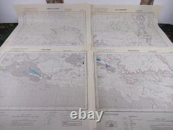
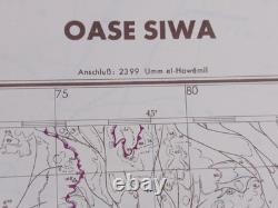
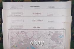
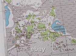
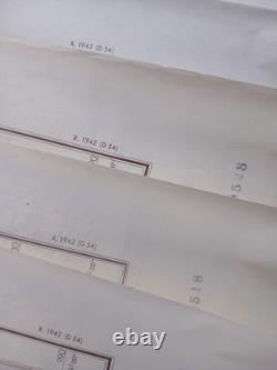
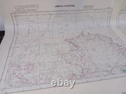
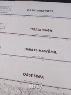
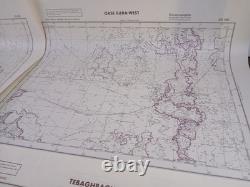
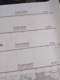
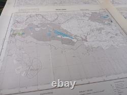
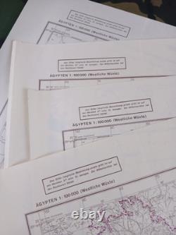
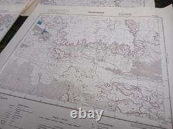
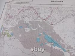
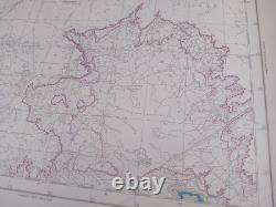
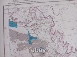
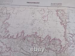
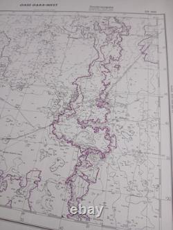
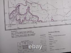
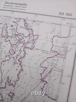
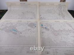

A fantastic set of FOUR ORIGINAL CAPTURED WW2 GERMAN ARMY MAPS which were printed in October 1942 around the time of the Second Battle of El Alamein. Before this historic Battle (which began on October 23rd 1942) Axis Forces were in control of the SIWA OASIS, but this vital staging area is perhaps best known for its association with the Long Range Desert Group (LRDG).
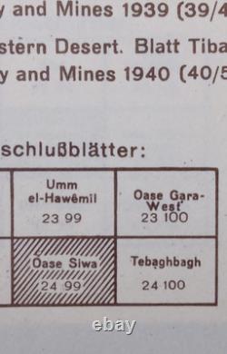
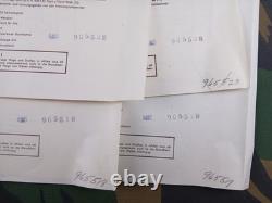
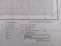
These four adjoining maps cover around a quarter of the journey from SIWA OASIS to EL ALAMEIN, with keys in the lower margins highlighting which routes were passable and impassable for motor vehicles. Following their capture, they were all stamped with the United States "Army Mapping Service" (AMS) serial numbers, suggesting that they were captured elsewhere at a later stage, perhaps in Germany in 1945. As with many excess stocks of Allied and captured enemy maps, at the end of the War they were donated to public institutions as educational resources. These specific examples were recently auctioned off by a prominent American University, although thankfully they were never additionally stamped by their own archivists.
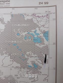
They have some fold lines, but have clearly been stored flat for decades. The Siwa Oasis map has a small hole from having been snagged at some point (see photos).
I also have a few other maps available from this series, one of which adjoins to the "OASE GARA-WEST" sheet entitled "OASE GARA-OST" and completing the "CARA / QARA OASIS" which spans the maps' borders. Please enquire if also interested in that sheet, or any of the others.Original WW2 maps featuring these areas at this scale are incredibly rare to find, even more so with the perfect timing for Axis forces being staged there prior to such a famous Battle. Please see my other WW2 (and WW1) maps, photos, manuals, documents, kit etc.