
Original WW2 German Heereskarte Map HALLE-BRESLAU Linen-Backed 1300k Grossblatt
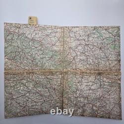
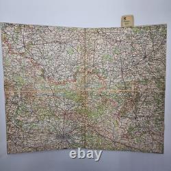
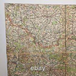
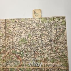
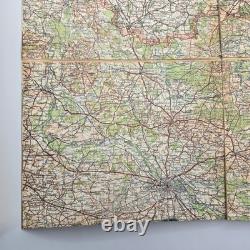
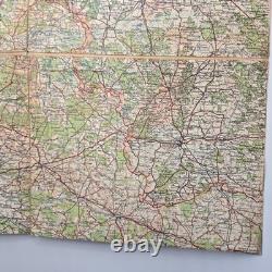
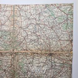
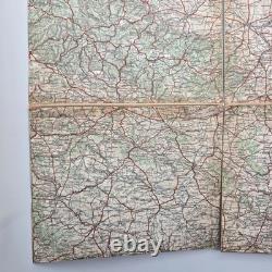
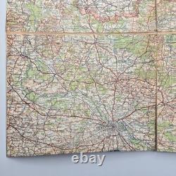
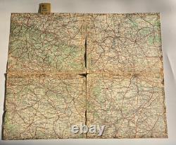
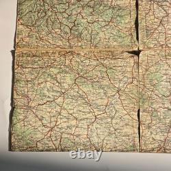
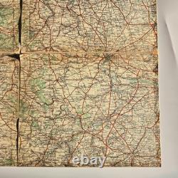

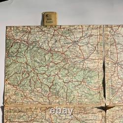
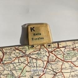
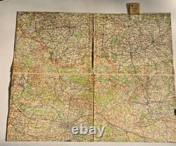
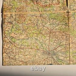

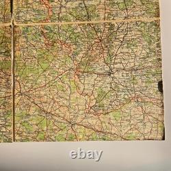
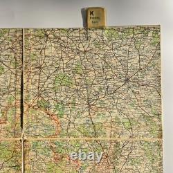
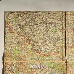
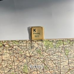
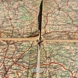


Original WWII German double sided Army staff map - Heereskarte/Generalkarte 1:300,000 Halle - Breslau. Classic operational road/rail map used by Wehrmacht staffs. Linen-backed Grossblatt (four quarter sheets joined) with the standard red 10-km grid, red arterial roads, black railways, blue waterways, and green wooded areas. Cities and features visible on this sheet include Halle (Saale), Halberstadt, Osterwieck, Kalisz, and the Silesian/Lower Silesian corridor toward Breslau (Wroclaw). Pull tab at top labeled "K - Halle / Breslau" for quick access in a map case. Authentic WW2 Wehrmacht Heereskarte (not a postwar reprint). Linen-backed four-panel construction for field durability.
German toponyms and Heeresgitter red grid throughout. Excellent display piece for Eastern Front & Silesia operations collectors. Folded (approx): 9 5/8" x 7 3/8". Unfolds to four joined quarters (standard Grossblatt format).
Type: Heereskarte / Generalkarte operational road & rail map. Sheet/Area: Halle - Breslau (Wroclaw) region; includes Harz/Halberstadt-Osterwieck to the west and Silesia/Kalisz area to the east. Format: Linen-backed four-panel Grossblatt with pull tab marked "K - Halle / Breslau". Condition: Used-field wear, fold separations at a few junctions, small edge splits; colors and detail remain clear (see photos). Folded Size (approx): 9 5/8" x 7 3/8".