Original WW2 German Blitzkrieg Planning Map Jan 1939 Ardennes WW1 Retrospective
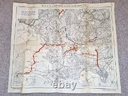
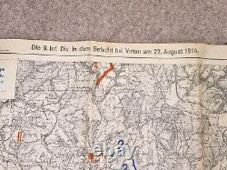
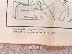
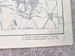
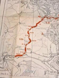
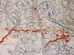
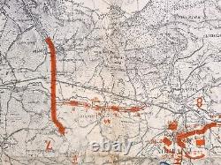
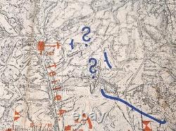
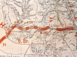
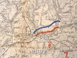
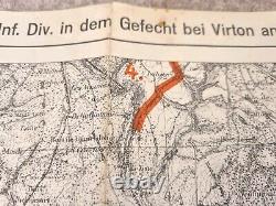
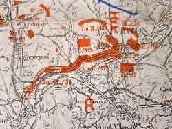

Fascinating Original WW2 German Blitzkrieg Planning Map Jan 1939 Ardennes WW1 Retrospective. The map was produced in 1939 (dated 12 Jan 1939) prior to the outbreak of war but as a retrospective of the German WW1 invasion of France through the Ardennes as part of the Schlieffen Plan. It seems clear from this map that Germany was investigating a repeat of the plan that did result 1940 as the Blitzkrieg.
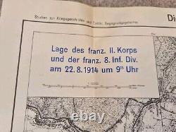
One of the headings translates as Studies on the History of war and tactics... German positions printed in blue and French in red including regiment details for each sector. The map measures 56 x 48 cm. The paper shows appropriate ageing.

