Original WWII WW2 German ruler Map template Distance Tool Artillery Planzeiger
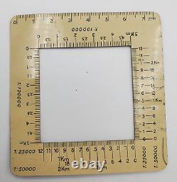
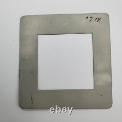
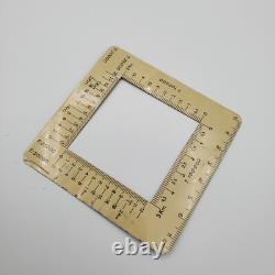
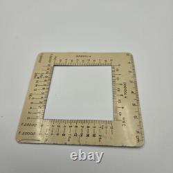
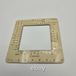
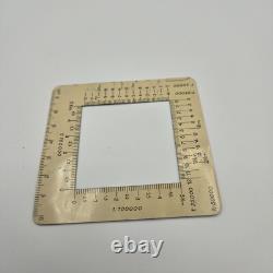
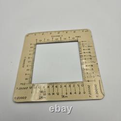

Original WWII-era German military map tool, planzegier. Different scales to quickly calculate distances for movement or targets on a map. It is a precise measurement tool, used for military strategic planning. This vintage map ruler was made in the 1930s. The ruler is used to calculate distances on maps in kilometers and 100-meter increments. Approximate dimensions: 3 7/16" x 3 7/16". Shows light scratches, wear, and signs of use.
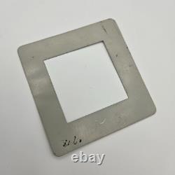
One large scratch; slight warping. Number written on the back. Check out my other WW2 items.

