WW2 German 12000000 Fliegerkarte PILOT MAP Battle of Britain #2 RARE
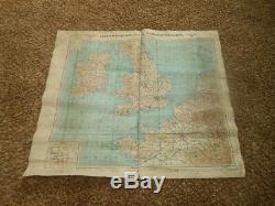
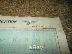
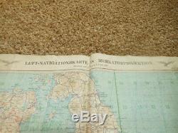
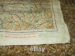
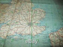
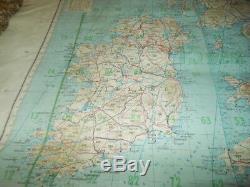

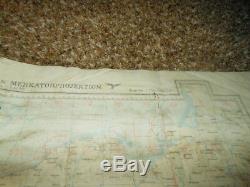
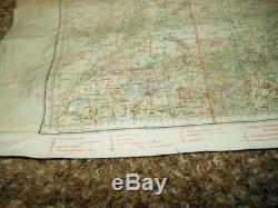
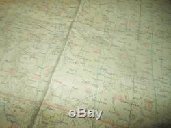
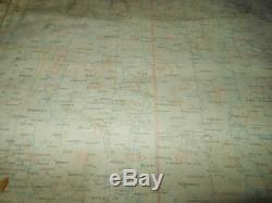

This map is titled "Luft-Navigationskarte in Merkatorprojektion" (Air Navigational Map in Mercator Projection), Blatt Britische Inslen, and measures a VERY NICE 32" x 40" (80cm x 100cm) size. Made of waterproof plastic/linen, this map is in EXCELLENT condition for its age.
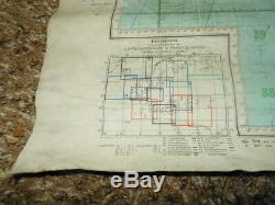
2.5 feet x 3.5 feet in size, and covers all of the UK. "Blatt Britische Inseln Sud " (British Islands) is written at the top, and overall it includes all of England, Scotland, as well as parts of Belgium, France, and Holland. It features 2 black printed Luftwaffe Eagles on the top, and shows various locations of lakes, seas, towns, villages, cities, and elevations. Also features longitude and latitude degree markings, and Pilot Grid.
The reverse (though faded) is titled, Blatt. 1 Deutschland, and covers most of Germany. Map dates indicated are 1942 and 1943. Though there are a few folds, there are NO tears or damage! A VERY RARE and FANTASTIC addition to any BoB collection, display, or simply as a conversation piece! Most of my items are vintage, and as such are AS-IS, so you must therefore expect a degree of wear due to age and/or usage. Although my passion is the Me109, I do offer many other German Aircraft Fw190, Me262, etc., as well as USAF and Japanese items. Occasionally I do offer many non-vintage items such as prints and art relating to the time period. Use is solely based on my authorization only. The item "WW2 German 12000000 Fliegerkarte PILOT MAP Battle of Britain #2 RARE" is in sale since Friday, November 23, 2018.
This item is in the category "Collectibles\Militaria\WW II (1939-45)\Original Period Items\Germany\Paper Items, Newspapers". The seller is "messerschmitt*109" and is located in Malibu, California. This item can be shipped worldwide.

