WW2 German Luftwaffe Air Force Pilot's Map Original Poland 1941
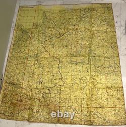
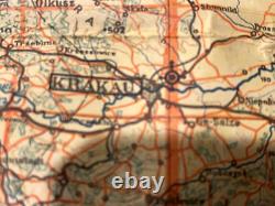
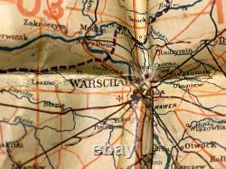
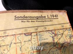
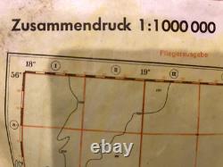
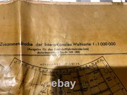
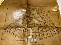

Here's an original WW2 German Luftwaffe Air Force Military Pilot's Map! It's been in my collection for many years and guaranteed original WW2 period map. It is marked: Fleigerausgabe (Pilot's Edition) Nur fur den dienstgebrauch (For official use only). Map was used by German pilots for navigation and fighter / bombing missions during World War 2.
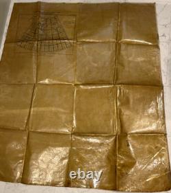
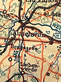
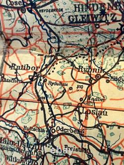
The weather resistant plastic backing helps protect the map and has stenciled markings showing details of location and scale. Historical cities and towns of Krakow, Warsaw, Loslau and Auschwitz are featured on the map. Map has a light yellow/green background color to aid in viewing in low light conditions or night missions. 90cm across at widest point. These maps were highly detailed and designed for planning reconnaissance missions and fighter/bombing missions.
They typically included topographical features, airfields, enemy defenses, and key infrastructure such as bridges, railways, and industrial targets. Many Luftwaffe maps were marked with grid systems for precise targeting and contained intelligence updates on enemy positions. Some were printed on special weather-resistant materials for use in combat conditions. Today, these maps serve as historical artifacts, providing insight into Germany's aerial strategies during the war.
Showing signs of age and use.

